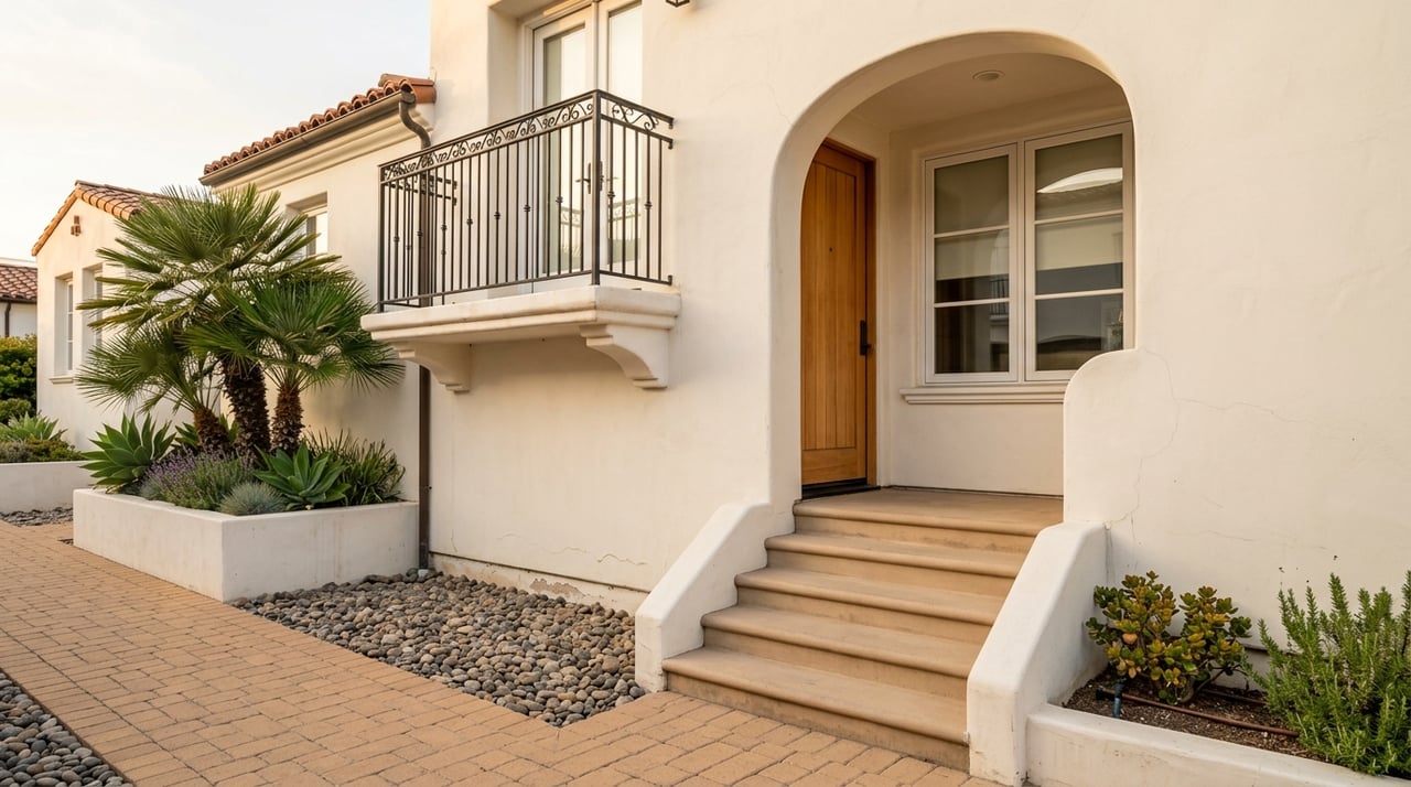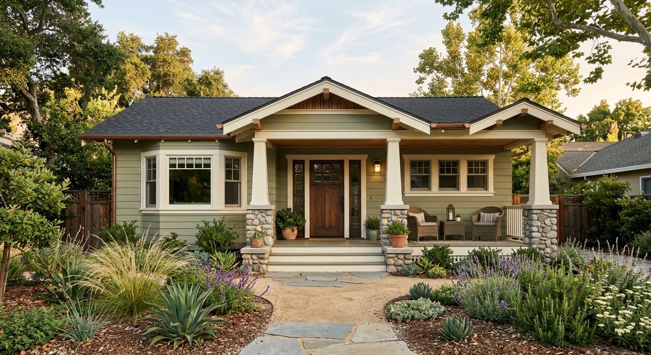
Thinking about adding an ADU, converting to a duplex, or splitting a lot in Watsonville? You are not alone. Many local owners want extra space for family or rental income but run into confusing zoning terms. This guide breaks down the basics so you can research a property, spot common constraints, and plan a realistic path from idea to permit. Let’s dive in.
Watsonville zoning basics
Zoning tells you what you can build and how. In Watsonville, zoning districts set permitted uses, height, setbacks, lot coverage, and parking. The zone name gives you a quick clue, but the municipal code and zoning map control the details. Always verify the exact language for your parcel.
R-1 single-family
R-1 is typically one home per lot. You can still explore an accessory dwelling unit under state ADU law if you meet objective standards like setbacks and height. Expect the city’s zoning code to set the exact numbers and requirements. Start with your zoning map and code section for your district.
R-2 low density multi-family
R-2 often allows a duplex or two-family use when you meet objective standards. Some conversions are possible if you follow parking and development rules in the code. Read both permitted and conditional uses to see if your idea is ministerial or needs a hearing.
Higher density residential
Zones like R-3 or R-4 usually allow more units and different standards. As density increases, the rules for lot coverage, height, and parking change. The city’s code will define the exact limits and approval process.
ADUs across zones
ADUs are allowed in single-family and multi-family zones under California law. Local objective standards still apply where permitted by statute. That means your setbacks, height, and lot coverage must fit the adopted rules, but approvals are designed to be ministerial when you comply.
Where to verify your parcel
You can do a lot of homework from your desk before you draft plans. Follow these steps for any Watsonville address.
Step 1: Identify the parcel
Start with the street address or the assessor’s parcel number. The Santa Cruz County Assessor can help you find or confirm the APN. Keep the APN handy for every portal and phone call.
Step 2: Confirm zoning and land use
Open the City of Watsonville Zoning Map to see the district for your parcel. Then check the General Plan land use designation. Note any mismatch or special plan area that might add rules or limit density.
Step 3: Read the code for your zone
Look up the Watsonville Municipal Code section for your district. Find permitted uses, conditional uses, and objective development standards. Pay close attention to setbacks, height, lot coverage, parking, and whether approvals are ministerial or discretionary.
Step 4: Check overlays and special districts
Use the city GIS or parcel viewer to see overlays. Look for the Local Coastal Zone, historic resources, flood zones, utility boundaries, and any special planning areas. Overlays can change approvals, add permits, or trigger state and regional review.
Step 5: Review permit history
Search the city permit portal or ask the Planning counter for past records. Look for building permits, ADUs, prior duplex approvals, variances, coastal permits, and any open violations. A clean permit history can save time later.
Step 6: Run technical checks
Check FEMA flood maps for flood zones and base flood elevation. Review CalFire fire hazard severity maps. Confirm sewer and water service with the city or utility providers and note connection needs and potential fees.
Overlays that change the rules
Overlays are extra layers on top of base zoning. In and around Watsonville, a few common overlays can shape your design and approvals.
Coastal Zone and LCP
Parts of Watsonville sit inside the California Coastal Zone. The Local Coastal Program adds policies and may require a Coastal Development Permit. Some small projects can be exempt, but coastal rules can add time and review steps.
Floodplain and sea level
Low-lying areas are subject to FEMA flood maps. You may need elevation, floodproofing, or other design measures. These requirements affect costs and can influence your timeline.
Fire hazard areas
CalFire maps show fire hazard severity zones. In higher hazard areas, expect defensible space and construction standards that increase complexity. Plan for these early if your parcel is flagged.
Historic and agricultural edges
Historic districts or resources can add design review or limit exterior changes. Near agricultural preservation areas or under Williamson Act restrictions, expansion can be limited. Confirm any recorded restrictions before you invest in plans.
State tools that help you add units
California has passed laws to open the door to gentle density. These tools do not override every local rule, but they create clearer, faster paths when you meet objective standards.
ADUs in brief
Recent state reforms reduce barriers for ADUs. Cities must use objective standards and process compliant ADUs ministerially. Parking requirements are reduced in many cases, which can make backyard or garage conversions more feasible.
SB 9 duplexes and lot splits
SB 9 allows a qualifying homeowner to create a duplex and to split an eligible single-family lot under ministerial review. Exceptions apply where objective standards or overlays limit the option, such as certain historic districts or high fire severity areas. If your lot meets the rules, SB 9 can unlock a second unit or a legal split without a public hearing.
Approvals and realistic timelines
Approvals fall into two broad buckets. Knowing which path you are on can help you set expectations and budget.
Ministerial approvals
These are objective and do not require a hearing. ADU approvals are ministerial when you meet standards in the code. SB 9 duplexes and eligible lot splits are also ministerial when you satisfy the statute and local objective rules.
Discretionary approvals
These involve a hearing and agency discretion. Conditional Use Permits and Variances fall here. Coastal Development Permits are often discretionary and can include additional regional review.
Common pathways
- ADU plus building permit on a single-family lot.
- Duplex conversion or new duplex on an eligible lot in R-2 or via SB 9.
- SB 9 lot split followed by two units on each resulting lot, if allowed by standards.
- Parcel map or lot line adjustment for splits that require subdivision review.
Timeframes you can expect
- Ministerial ADU: often weeks to a few months depending on plan quality and workload.
- Discretionary approvals like a CUP, variance, or coastal permit: several months to a year depending on hearings and any environmental review.
- Lot splits and subdivision maps: multiple months and may require technical studies.
Fees and conditions
Expect plan check, permit, and inspection fees from the city. New units may trigger impact fees, though some ADUs receive state protections. Utility connections and new meters can add cost, so confirm requirements early.
Quick research checklist
Use this simple checklist to size up a property before you commit to design or purchase.
Step A: Desktop review
- Get the APN and address from the listing or the assessor.
- Confirm zoning on the city map and check the General Plan designation.
- Read the municipal code for your zone to note standards and allowed uses.
- Check city GIS layers for Coastal Zone, historic districts, flood, and fire.
- Search the permit portal for past ADUs, duplex work, variances, or open cases.
- Run FEMA flood and CalFire fire hazard checks and note any flags.
- If you are serious, pull a preliminary title report to see easements and restrictions.
Step B: Technical checks
- Call the Planning counter with your APN to confirm any prior approvals or violations.
- Ask Public Works or the utility provider about sewer and water availability for an added unit.
- Confirm parking rules and whether state ADU parking reductions apply to your site.
- Check utility requirements and rough costs for new meters or service upgrades.
Step C: Decision points
- If your idea is a ministerial ADU or SB 9 project, design to meet objective standards.
- If the parcel has a Coastal Zone, historic overlay, floodplain, or fire severity issue, plan for added review.
- If you will likely need a CUP, variance, or coastal permit, build that timeline into your plan and consider assembling a technical team.
When to bring in extra help
Some sites are straightforward. Others benefit from expert support so your plans meet the standard the first time.
Situations that warrant a consultant
- The parcel is in the Coastal Zone, a historic overlay, a floodplain, or a high fire severity area.
- You need a CUP, variance, or a Coastal Development Permit.
- You plan an SB 9 lot split and must verify eligibility, prepare a strong submittal, and avoid common denial risks.
- Utility capacity, drainage, or environmental constraints are unclear and may need studies.
- You want to maximize rentable square footage while staying within objective standards.
How a local advisor helps
A seasoned local team can coordinate next steps, connect you to planning staff and consultants, and align zoning research with your buy or sell strategy. You get realistic timelines, budget clarity, and a path that reduces surprises. If you want a grounded plan for a Watsonville ADU, duplex, or SB 9 split, reach out to The Portola Group for a neighborly, expert perspective.
Ready to explore your options or evaluate a specific address? Connect with The Portola Group for local guidance and a clear plan.
FAQs
Can I build an ADU on an R-1 lot in Watsonville?
- Yes in many cases, since state law allows ADUs in single-family zones when you meet objective local standards like setbacks and height.
How do I check if my Watsonville lot is in the Coastal Zone?
- Use the city GIS or parcel viewer to see the Coastal Zone overlay, then ask Planning if a Coastal Development Permit applies.
What is SB 9 and how could it help me add units?
- SB 9 allows a qualifying homeowner to create a duplex or split an eligible single-family lot under ministerial review when objective standards are met.
Do ADUs require extra parking in Watsonville?
- State reforms reduce parking in many cases, but you should confirm current objective parking rules with the city for your site conditions.
How can I find permit history for my Watsonville address?
- Search the city permit portal or contact the Planning counter using your APN to check past permits, approvals, or open violations.
How long does an SB 9 duplex or lot split take to permit?
- Ministerial SB 9 approvals can take weeks to a few months with complete plans, while any added reviews or studies can extend timelines.